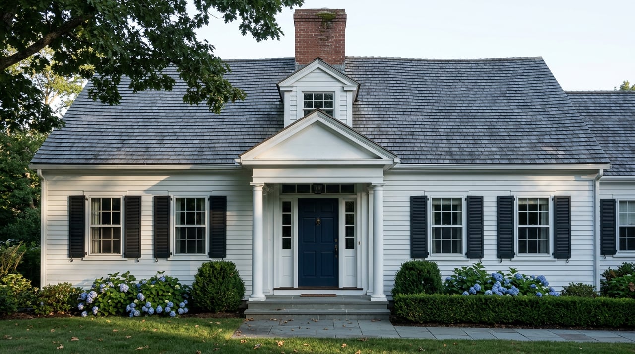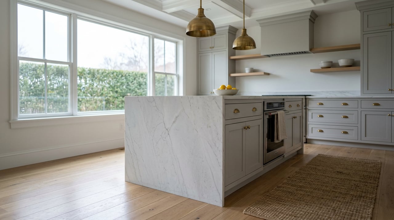
Two three-bedroom capes go under agreement in Hull the same week, a few streets apart, listed within a few thousand dollars of each other. By the time both buyers clear underwriting, one is paying an annual insurance bill that costs more than the other buyer's homeowner's and flood policy combined. Nothing about either house's condition, size, or finish explains the gap. The difference sits in a letter and a number that never show up on the listing sheet: the FEMA flood zone the parcel falls into, and whether a previous owner took the town up on an offer it made back in 2009.
That gap is the real story in Hull right now, more than the sale price itself. As of mid-August 2026, the town's median home value sits around $683,000, up close to 4 percent over the past year. That figure tells you what Hull homes are trading for. It tells you almost nothing about what they cost to keep.
What The Zone Letter Actually Costs You
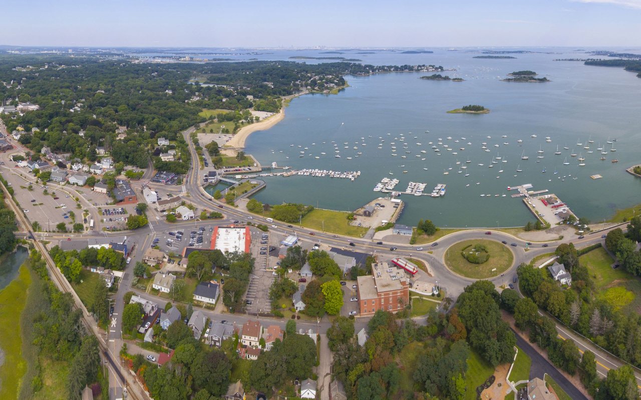
Hull sits on a narrow peninsula between Hull Bay and Massachusetts Bay, which means most of its residential parcels fall somewhere inside a federally mapped flood zone. Zones that begin with V, like VE, sit closest to open water and carry the added risk of wave action, along with the strictest construction standards. Zones beginning with A, including AE and AO, are still inside the mapped 100-year floodplain but without that wave exposure. Some parcels sit in Zone X, outside the mapped high-risk area entirely, where a lender generally will not require a policy at all.
Massachusetts as a whole already runs hotter than the country on flood premiums. The statewide average National Flood Insurance Program premium runs somewhere between $1,078 and $1,142 a year, well above the roughly $887 national average. Hull runs hotter still. The town's average flood insurance rate lands closer to $1,624 a year, spread across roughly 1,990 active policies that together account for more than $3.2 million in written premium. There is no state law that forces a Massachusetts homeowner to carry flood insurance. A federally backed mortgage on a property inside a mapped high-risk zone will require it regardless, and plenty of Hull buyers who thought they were shopping by square footage and school access find that requirement waiting for them at underwriting.
Why Hull's Flood Math Runs Hotter Than The State Average
Part of the answer is simple geography. Hull has one of the highest counts of repetitive-loss flood properties in Massachusetts, third in the state by that measure, a legacy of a peninsula that has absorbed more than twenty separate coastal storms serious enough to generate flood insurance claims since the Blizzard of 1978. The town participates in FEMA's Community Rating System, a voluntary program that lowers flood insurance costs for every policyholder in town when local floodplain management improves. As of a 2021 review, Hull held a CRS Class of 7 out of 9 and ranked fourth among Massachusetts communities by total NFIP policy count.
That classification is not a settled fact the town can ignore. At a 2024 town meeting, Hull voters were asked to add a Floodplain Overlay District to the zoning bylaws specifically to keep the town in compliance with federal flood insurance regulations, a step reporter Dolores Sauca Lorusso covered for the Hull Times, noting the town needed FEMA regional approval by its effective date to avoid suspension from the NFIP entirely. A lapse in that standing would have pushed rates up for every policyholder in town, not just the homes closest to the water. This is a live, monitored classification, not a one-time paperwork exercise, and it is one more reason the zone letter on a specific parcel matters more here than in towns further from the water.
The 2009 Rule That Splits Otherwise Identical Houses
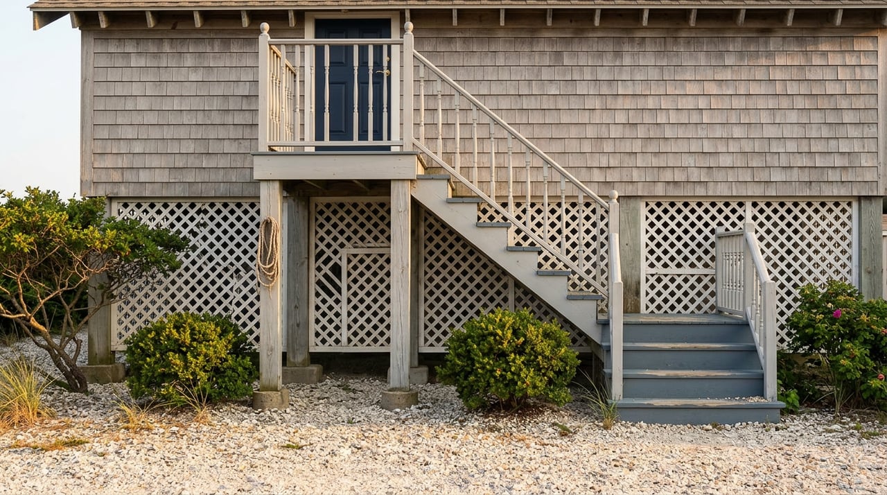
Here is the detail that actually explains why two similar Hull houses can carry different insurance math at the same price point. In 2009, the town began offering a $500 rebate on building department fees to any homeowner who built or rebuilt with additional freeboard, meaning the lowest floor sits higher above base flood elevation than the code minimum requires. Since then, roughly 85 percent of homes that have built or proposed construction in town have gone with at least two feet of freeboard, four feet in the V zone, specifically to capture the insurance savings that come with it.
That means a house rebuilt or substantially renovated after 2009 on a given street may sit measurably higher above base flood elevation than its neighbor built before the incentive existed, even if the two houses look nearly identical from the curb and carry the same asking price. The insurance quote does not know what a listing photo shows. It knows what the building's lowest floor measures against a benchmark, and that measurement can vary house to house on the same block depending on when and how each one was built.
Same Price, Different Ground: A Walk Across Hull's Named Hills
Hull's own topography splits neatly into the elevated ground and the low, beach-adjacent blocks, and the town's named neighborhoods track that split closely enough to be useful when you're comparing two listings.
| Neighborhood | Elevation story | The question worth asking |
|---|---|---|
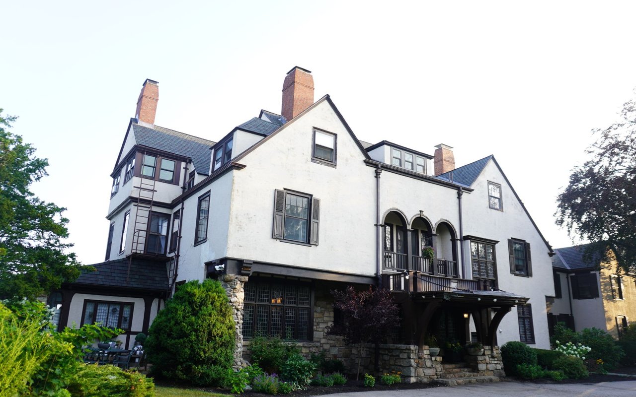
| Allerton Hill | Occupies the raised tip of the peninsula, named for Isaac Allerton, a Mayflower passenger whose descendants settled the area. An 8,000-square-foot Victorian once owned by Rose Kennedy's father still stands here as a summer retreat turned family landmark. | Ask whether this specific parcel has a current elevation certificate on file, not just a general sense that the hill sits above the water. |
| Sagamore Hill | Rises roughly 85 feet above Nantucket Avenue, with views stretching to Hull Bay, the Boston skyline, and the World's End peninsula in neighboring Hingham. | Street elevation is not the same as first-floor elevation. Ask how the actual building measures against base flood elevation, not the hill it sits on. |
| Pemberton and Telegraph Hill | Carried a median real estate price near $744,685 as of an early 2026 neighborhood survey, with much of the housing stock built before 1939. | Ask whether this particular structure was part of the town's post-2009 freeboard program or predates it entirely. |
None of this means high ground is automatically cheap to insure or that a low-lying block is automatically expensive. It means the answer depends on the specific parcel, not the neighborhood name, and the only way to know for certain is to ask before you're locked into a purchase and sale agreement.
What To Actually Ask Before You Write An Offer
A few questions, asked early, save a buyer from an underwriting surprise later:
- Request a written flood zone determination for the exact parcel, not a general statement about the neighborhood.
- Ask the seller's agent for the current NFIP premium on the property and whether it's grandfathered under an older rate.
- Ask whether an elevation certificate is on file with the town Building Department, and if so, what it shows for the lowest floor.
- Build the flood premium into your monthly carrying cost estimate before you set your offer price, not after your lender runs the numbers.
FEMA also revises its Flood Insurance Rate Maps on an ongoing basis as new data comes in. Hull's own maps have already been revised more than once in the past decade, which means a zone assignment at closing is a snapshot, not a guarantee, and it's worth checking the Town of Hull's flood hazard information directly rather than relying on a listing description that may be a year or two out of date.
A Few Questions Before You Tour
Does every home in Hull need flood insurance? No. There's no statewide mandate in Massachusetts, according to Mass.gov's flood assistance guidance, but a federally backed mortgage on a home inside a mapped high-risk zone will require it. Many Hull owners outside the mapped zone still carry a lower-cost preferred risk policy given the peninsula's flooding history.
What does freeboard actually mean? It's the height a home's lowest floor sits above the base flood elevation set for its zone. More freeboard generally means a lower insurance premium, which is exactly why the town's 2009 rebate program pushed adoption as high as it did.
Can a home's flood zone change after I buy it? Yes. FEMA updates Flood Insurance Rate Maps as new topographic and storm data becomes available, and Hull's have been revised multiple times already. A zone letter at closing reflects the map in effect that day, not a permanent designation.
The sale price on a Hull listing is a starting point, not the full picture. The number that actually determines what a house costs to own for the next decade lives in a zone letter, an elevation certificate, and a decision someone made about freeboard years before the listing photos were taken. If you're comparing two Hull properties and want help reading what sits underneath the asking price, Pamela Bates has spent nearly two decades working this stretch of the South Shore. Let's Connect before you write the offer, not after the insurance quote arrives.